Many times I used to think at school – when will I use trigonometry in real life? Well in surveying it is “most of the time when measuring”.
When the airstrip is located and surveyed it will be necessary to map the surrounding mountains to have a plan for pilots to understand the surrounding dangers if the visibility is poor or they need to take emergency actions.
It would be great to climb all the mountains to survey the tops, but this is not practical or very time efficient. Instead I will be using a Total Station to measure the horizontal and vertical angles to the surrounding mountains from two points I will have surveyed on the glacier. With the coordinates of the two know points and the angles from these points to the mountains I will be able to calculate the coordinates and heights of the mountains. This is simple “Trig”, which gets a bit more complicated to get better accuracy when you take into account the curvature of the earth and the refraction of the measurements caused by the atmosphere.
I think i will need to get my old text books out for that one….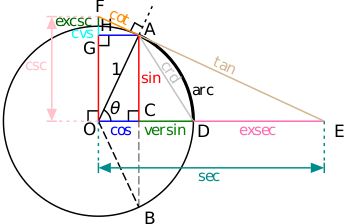
(Image from Wikipedia)
