Time to leave this continent :-(

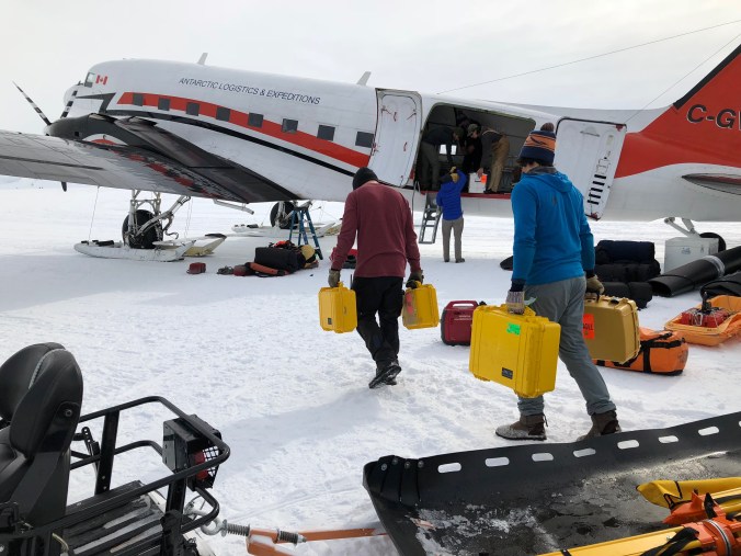
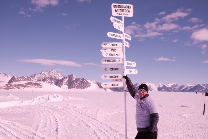
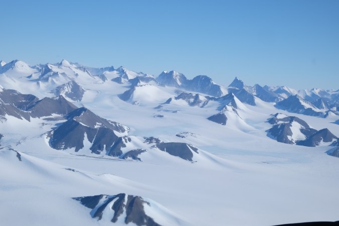
Today will be the last day on Antarctica (weather permitting and the weather always has the last word here). We are due to fly out on the Ilyushin this afternoon so the morning will be spent sorting out all the kit, making sure its packed in all the right boxes and that the batteries are also packed to meet the shipping regulations as I will only have a few hours in Punta Arenas to repack all the survey equipment in to the shipping boxes and pallet for the return trip to the UK.

I also need to pack up all my personal kit and deliver it to the “baggage handlers” for loading on to the sledge which is towed the 10k to the main ice runway.

IMG_8319

I provided Seth with some of the survey data so he could load in to the camp GIS system but he was also out on the same flight out today so we didn’t have a lot of time to review. This will be a one of the off season tasks that need to be finalised. DSCF6134

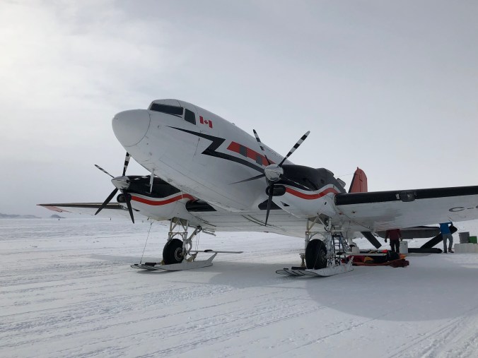
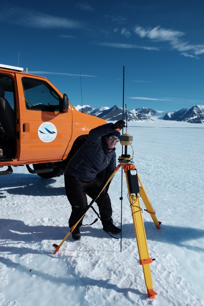
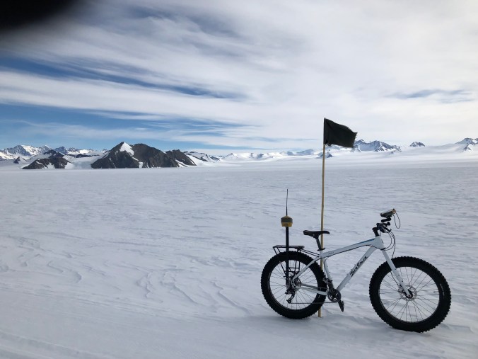
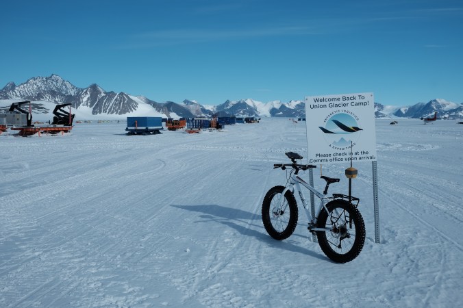
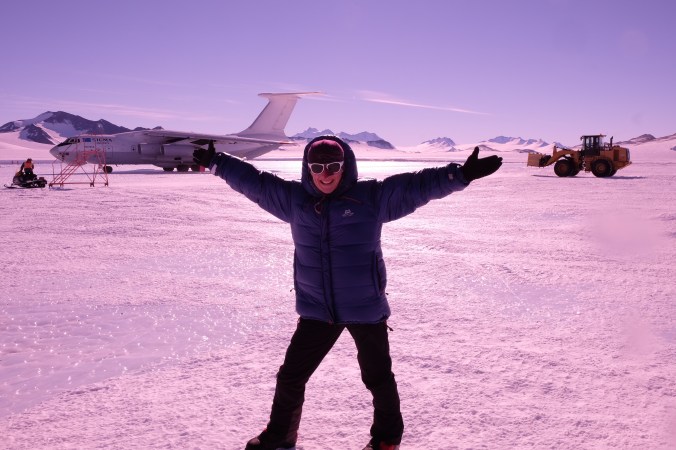
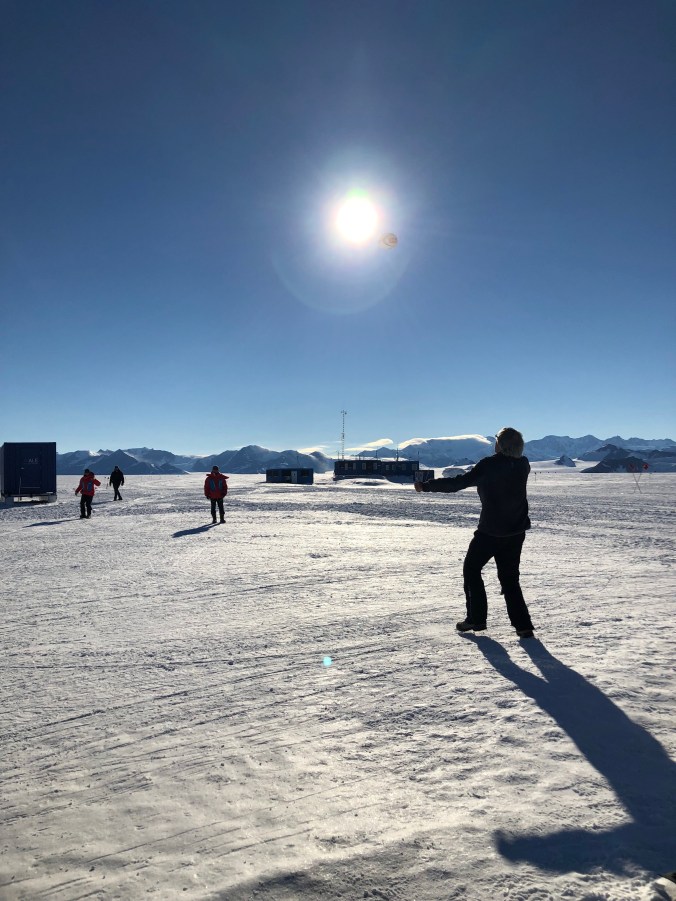
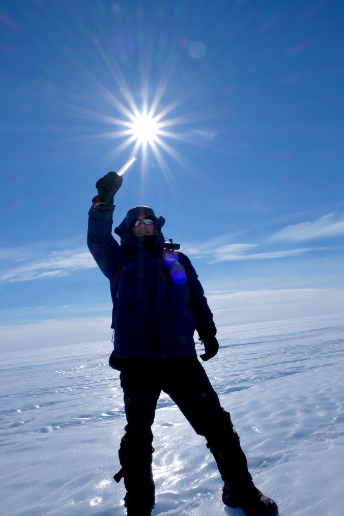
Topcon Bob gets about a bit. This is his 2nd visit to Antarctica so he wanted a farewell picture on the ice, although he decided to stay when he saw the ops office.DSCF6126

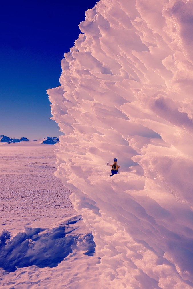
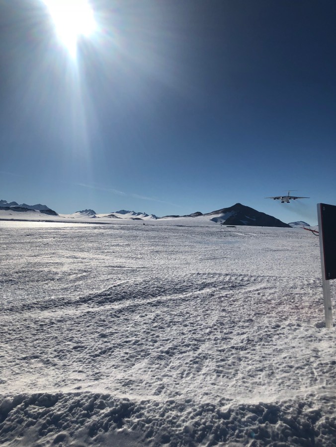
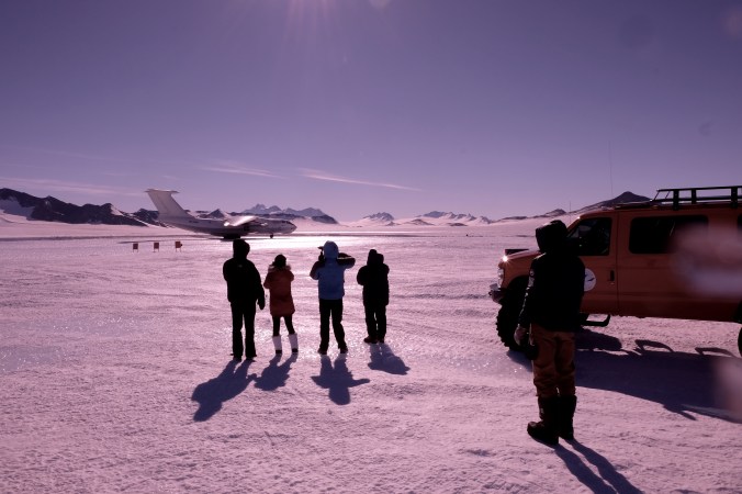
I decided to head off early with a small group to the runway to meet the incoming flight. It would mean a few hours waiting before we would be able to board for departure but we would get to see the Ilyushin landing and I’m used to waiting for aircraft departures.  I was joined by Ice maiden Sandy who volunteered to get the teams photos of the landing so I was in good company.

IMG_8323

IMG_8325

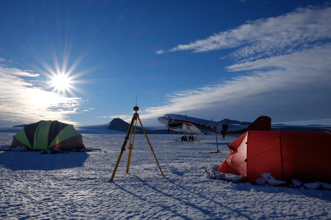
At the Union Glacier Ice runway with the Ilyushin coming in to land.

IMG_8329

DSCF6213

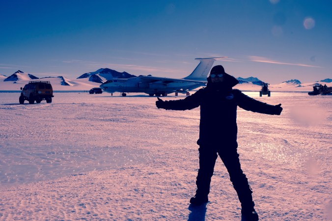
Ice Maiden Sandy happy to be heading home or just Happy to still be on the ice?

DSCF6226

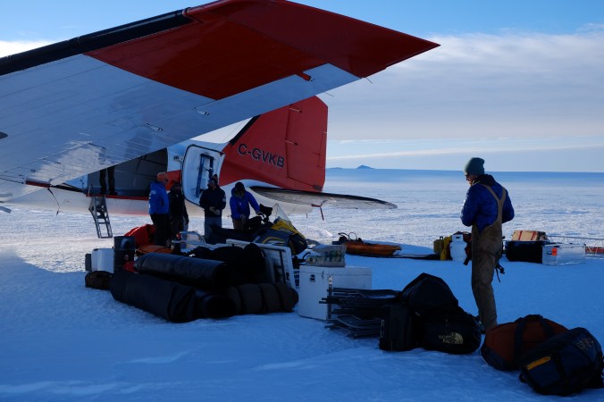
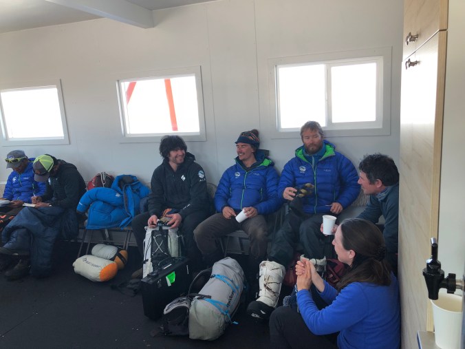
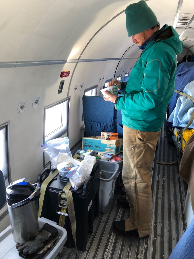
While the ALE staff unloaded all the cargo from the aircraft and transferred our baggage onboard we had a couple of hours in the departure lounge, which in true ALE style was equiped with hot drinks and snacks. No frequent flyer points needed here.

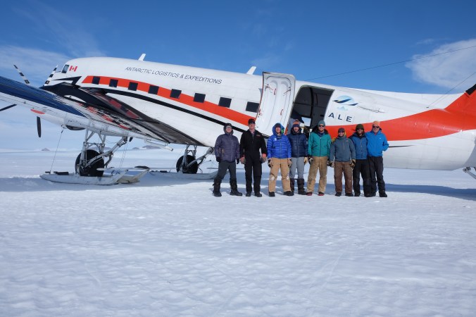
Some of the ALE mountain guides were also heading out on this flight. Seth who had taken care of us on our survey trip was also departing, but not heading home for a break as I would have expected, but off to Kilimanjaro for another guiding trip! When your work is this amazing why would you need a holiday?

IMG_8339The rest of the passengers arrived when the cargo was loaded and we boarded with a sad farewell to Antarctica. I am confident that most visitors who experience Antarctica close up want to return and I certainly do. It’s a place that I feel has much more to offer than my short experienced and much more for me to explore.  I can’t wait…….

DSCF6230


Back at Union…

It was much colder on our return to Union and there was a strong  wind gusting. Breakfast was notified to be 10am instead of the usual early time as many of the camp guests and staff had not gotten a lot of sleep for the previous 24 hours due to the conditions.

The last guests who were out in the field arrived back last night with a small group opting to make an impressive ski kiting return from a climbing expedition under their own power instead of taking the earlier Twin Otter flight as some of the their team had.

They were even feeling good for a bit of Rugby “France v England” knockabout. Bring on the 6 Nations…..

IMG_8314

A lot of the guest tents had already been packed away when we arrived back and the camp staff were busy packing up all non essential items in preparation for the end of season. There was still some time for the “tourist” shots. Even if I did have to hold up the sign post in the wind as it was just about to be packed up…

DSCF6094

I experienced first hand the power of the wind when returning to the shell tend and finding a lot of stuff on the floor and the table tipped up. Given the shape of these tents it was surprise to see that the wind had bowed the side of the tend so much to knock over the table.  I’m glad I wasn’t outside of camp with wind chill at -28 when the wind had dropped!

SHSD9065

The Ice maidens were back at union glacier and I met up with these impressive ladies in the mess tent. The group from the British Army were the first all female team to cross Antarctica on skis from Leveret Glacier to  Hercules Inlet via the South Pole. You can read all about their journey here http://exicemaiden.com.  The BBC were present to film and interview them on their last day and they were busy with lots on interviews and will be visiting schools and presenting at events in the UK to share their adventure and inspire others. If you see one of their events advertised I would encourage you to go.

They were enjoying a well earned rest and it was good to hear about their expedition and some of the challenges faced and adventures along the way. Maybe the donated G+T with Antarctic ice of course helped their recovery.

IMG_8308


Final checks.. and we’re off.

Today should be the last day on the ice at our remote location. The survey work is is just about completed so its necessary to carry out some checks on the data to ensure there are no gaps in the DTM and it contours as expected. Its a long way back if we’ve missed anything….

Mike identified some areas which would be useful to survey at the far extremes of the runway area so I skidoo’d off to add these areas to our survey while Seth went back to the mountain to collect the base station which was left logging overnight.

David had spotted some old glacier markers on his wider inspection of the area so we went over to investigate. One of the poles had tipped over, but we recorded the locations and hight of the poles above the ice to reference against the data recorded when they were installed. This long time data comparison should help confirm the movement of this glacier.

DSCF9531 (1)

When we returned, the camp was full of activity with the team packing up their tents. So I joined in to pack up my own kit and take down the tent. The first job was to dig away any drifts of snow that had built up, then clear the tent skirts. I was surprised how easily it was to  clear the snow we had shovelled on to the tent skirts to keep the wind out. It is so dry that the snow had not “stuck fast” as expected and it didn’t take long at all.

IMG_8149

It was a team effort to pack the larger mess tents which is more like a big banana when packed with its poles staying in place.

IMG_8211

It took a while to pack up all the kit and load the skidoos and all other items in to the plane. Nothing was left behind (except the weather station of course) so any snow which had got contaminated despite our careful existence was shovelled in to a bag and came out with us.

IMG_8198

I have no idea what time it was when we took off as we had all been busy,  of course it was still daylight and time for a quick team photo.

DSCF9607

After getting airborne, Jim made a low pass along the line of the proposed runway which we filmed from the cockpit for future reference.

Jim also made a flypast at a nearby lake which was a stunning deep turquoise. A truly amazing sight in a sea of white and mountains.

DSCF9668

We flew a direct line for a few hours and had time to enjoy the inflight catering kindly provided by Alex before approaching the Ellsworth Mountains which were endless and spectacular.IMG_8267

Part of the Ellsworth Mountain Range

DSCF9698

Approaching Union Glacier camp which can just be seen as dark specs in the snowfield near the centre of the image. With crystal clear vistas the distances to the surrounding mountains are easy to underestimate as demonstrated by the camp distance to the mountain on the left from the air and the ground.

DSCF9703

DSCF9710

The camp ground staff were waiting for us and helped us unload before we went to the mess tent for dinner (or breakfast – I was lost to the time by now) but we were back at UG.

Skidooby dooby do day

It was an early start to get the trig heightening repeated in a quick efficient way from my two stations, and this time I was happier with the results so it was time for breakfast.DSCF9395
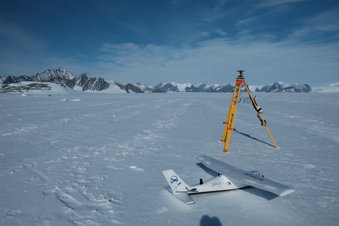
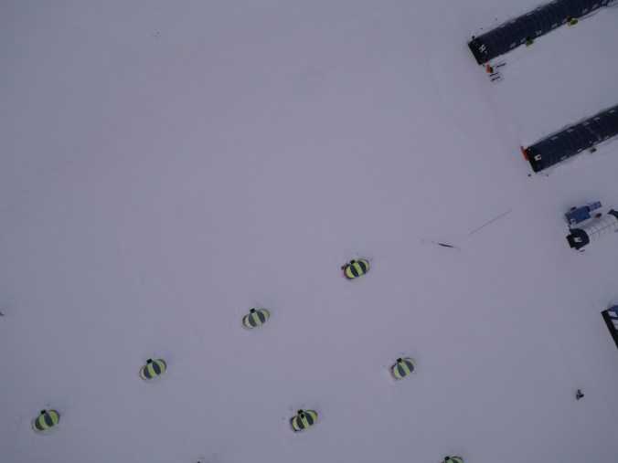
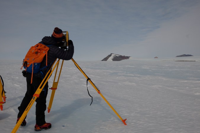
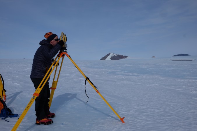
I had processed Mike’s data he collected the day before in MAGNET office and produced some long section and contour plans so he could check on the % gradient of the area and confirm the best location of the potential runway in addition to his visual inspection of the ice. The defined runway was then entered in to the two the field controllers so we could survey more densely the required area. This selected area was 3.5km long by 100m wide.
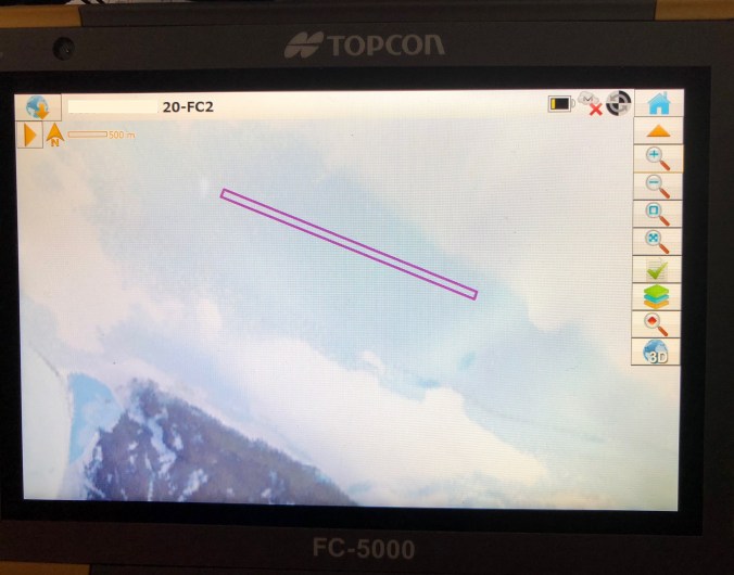
IMG_8408

We planned on using the two skidoos, both set up with a GNSS RTK system and field controllers and running parallel survey lines approximately 50m apart. I had set up a background grid of 50m x 50m as addition guidance to the marked target area. Zooming in to the plan view it was fairly easy to drive the right lines while heading towards mountains as we had a fixed feature to aim at and occasional check to the FC screen to maintain the correct spacing. However turning to face the white expanse with no references except the FC screen our lines were not quite so straight….

DSCF9573

There was an area we wanted to survey off the runway which dipped away from radio range, so I established a new base station on the brow of the hill. Connected to our Camp base to recored the coordinates as a rover and then started this receiver transmitting as a new base station on a different radio frequency. To confirm I had done this correctly and not introduced any error, I parked the skidoo where I could get a RTK fix from the camp base and the new temporary base and recorded points fixed from both bases on the different frequencies. There was only a couple of mm difference in these points so I knew the additional survey area would tie in nicely to the rest of the OGL work.IMG_8166

I set off down the dip and surveyed grid lines. I also contoured the edge of the frozen lake we had found. Fresh water only 30cm bellow the surface! Obviously this would not be forming part of our runway and was some way off, but needed recording as a significant feature.

DCIM100GOPRO

By the end of the day we had gathered the vast majority of the required survey data and I was going to process and fully contour this area to check if we needed any additional data before departing.

The rest of our team spent the day assembling and erecting a weather station. This will be necessary to gather and transmit live meteorological data for the site over at least the next 12 months. It’s an impressive piece of kit witch ALE have specially commissioned so the assembly work in the field is minimal. Its still quite an undertaking though and needed plenty of hands to lift and secure the tower after a foundation had been cut in the ice. It has solar and battery systems and will run through the dark winter providing vital site data.

IMG_8160

IMG_8161

We also wanted to establish a fixed base and there was no nearby “fixed mountain” rock so we would have to travel up the glacier to the nearest mountain. As this terrain was unknown and could be crevassed it was necessary to rope up. We still needed to cover a lot of ground and waking would not be a sensible option. The skidoos have been modified to have fixed anchor points front, rear and wired all around. Seth linked up our skidoos with a long rope and we harnessed up and clipped in to the skidoo anchor points. This would mean if the lead skidoo fell in to a crevasse the second skidoo would hold it and the driver was attached to the skidoo to enable rescue.

DSCF9425

This was hard concentration as the driver of the 2nd skidoo. Keeping the rope tight enough not to go under the skis or not tugging on the lead skidoo… I have had easier trips out.

It was fascinating terrain and we traveled nearby a moraine line. When almost at the mountain and deemed safe by Seth we could get of the skidoos and walk the remaining distance to base of the mountain.

DSCF9474

Scale is completely disorientating in Antarctica. Our nearby mountain was almost 8km from camp and the rock steeper than it looked so far away. David carried out the environmental study of the area while I set up a GNSS base station to log data to post process against the nearest UNAVCO station. Seth would go and collect this base in the morning as the area was judged safe to travel unroped for our return.

DSCF9452

DSCF9470

Big day at our new home…

Before turning in for the night I decided to set up the GNSS base and link up the Sirius Pro UAV to see how the real ground would be, compared to our satellite based ground model. There was no flight planned so I powered up the laptop and Sirius without attaching the wings and lay it on the ice. This meant I could check the compass orientation and check a flight plan against the reality.

DSCF9299 (1)

The ground model was surprisingly good for ice and this gave me some confidence we would be able to make successful flights later in the week, when we had completed the GNSS and Total station work.

Today was the first “real” survey day and I was keen to get started. Up early with a good breakfast of bacon and egg made by the cretative Seth set us all up for a good start. I set a base station nearby and started transmitting for RTK and  data logging to post process later to some of the UNAVCO GNSS stations on the continent.

DSCF9307

I then fitted the Skidoos with brackets to take a GNSS and FC-5000 field computer each. The GNSS brackets needed a bit of imagination to fix and a few cable ties (note to self for future – cable ties get very brittle and snap easily when cold!).

The Field Computer brackets were designed to mount on a survey pole but worked a treat on the skidoo handlebars with a bit of self amalgamating tape to stop them slipping.

Having the Bing map background was really useful on the field controllers to provide some orientation in an expanse of glacier. Mike and Jim then set off on their Skidoo,  logging their journey with RTK GNSS as they went to locate and record Jim’s actual landing and stopping point as well investigate the best location for a potential runway. The second skidoo was used by David and Seth to check out the natural surroundings and record any environmental encounters.

DSCF9571

This left me free to establish some points to be used as a base line to survey and height the surrounding mountains with the GT total station. Taking a robotic total station for this task was a bit of overkill as a simple manual total station would have worked well, but it gave me a back up plan to survey the skidoo runs with a fixed prism at speed if  we encountered any issues with the GNSS. Happily there were no issues with the GNSS and we got good RTK coverage of the first day’s investigation work.

I marked the location of my two survey points with a piece of black pipe. Obviously black is easy to spot on a white vista, but it also warms up and “melts” into the ice and therefore withstands the strong winds, a good piece of inside knowledge from the experienced hands.

DSCF9377
Recording all the tops of the  mountains in view was not as easy as I first thought. When looking through the telescope the “top” of some of the mountains were not so obvious and I make notes and sketches to ensure I would be surveying the same point on each face and round. I also took some photos with my phone as a useful reference but inevitably my progress was hampered by the confusion and difficulty in identification of some peaks.

IMG_8130

This mountain pictured was several km’s away. The peak was fairly easy to identify unlike some of the other tops – it’s not my reading point for those precise surveyors out there – just an image taken through the telescope to help identify the different peaks 🙂 .

The tripod also warmed up and the legs melted into the hard ice during observations, despite my substantial weight pushing them in initially on set up. This led to the total station needing re levelling a few times which was not ideal for this task.

Although I had recorded all I needed and made plenty of identification notes and images from the two stations I was not entirely happy with how this had gone and decided to repeat it again the next day much quicker and earlier in the day, so I would have an independent set of data which was recorded in a short space of time.

One irritating fact on the GT I found was the quick record button on the side. This is a great feature “normally” but when not recording distances and wearing large gloves had a habit of being pressed and recording points while I was making fine adjustments to my sightings. This also would have added confusion to the results with sequential point numbering of the peaks. Something I would also change for the repeat survey in the morning by using specific peak names. It might be possible for this quick measure feature to be disabled but I was not inclined to go looking for the option and preferred to get the job done.  It was noticeable colder today with periods of no direct sun but not too bad to work “well dressed” as the wind had dropped during the day.

DCIM100MEDIADJI_0036.JPG

We all gathered back at camp for dinner in our elongated clam Mess Tent, although I got very cold quickly after dinner with the wind now blowing strong so retreated to my tent and my super warm double sleeping bag…..These red Hilleburg tents are very spacey and windproof so perfect when you are tucked up inside. Top class tents.

New ground….

The time had come to sort out the equipment and personal gear to load aboard our aircraft for the flight to the remote part of Antarctica, where we would spend the next few days surveying and investigating the area. I piled all my kit up outside of the tent for collection by skidoo, of course.


Most of the equipment had already been loaded including two skidoos and all our camping equipment. We all loaded the remaining items and they were secured by the flight crew.

IMG_8040 (1)

We still have to wait for confirmation of the weather at the destination. I am getting used to the reality that the weather determines most timetables in Antarctica. But it did mean we could get some lunch before our expected departure. After a couple of hours we get clearance to load our personal kit and at 4pm the flight is confirmed GO.
Boarding our Douglas DC3 TP67 by ladder and it’s Hobson’s choice where to sit. It’s a choice – front and cook or back and chill. The experienced hands get the middle of course.

IMG_8045

Our team is made up of the very experienced pilot Jim, CoPilot Ben, engineer Alex, environmental expert David, Antarctic operations expert Mike and mountain guides Seth and Fred who will be responsible for glacier safety and myself, the surveyor.

DSCF9607
We’re heading to a rarely visited area to study and survey if there is a possibility to establish a blue ice runway and a re-supply base. This area is part of the Transantarctic’s mountain range and was “recorded” as part of the 1967/1968 Trans Antarctic expedition which passed by about 20-30km away. The TAE carried out surveys along the way of the peaks they encountered. We have also gathered some satalite imagery of the area to have a focus on the specific areas of interest.

The DC3 “Basler” is equipped with skis for snow landing. Before landing at our site, Jim makes a number of passes and studies the ice from close up to determine the best landing site and direction. When he has decided Jim makes a touch and go landing to “feel” the ice and then goes around for the actual landing happy with the outcome.

It’s then all hands to unload our substantial cargo and set up camp.

DSCF9260

The tents are secured by ice pegs and the main guys are fixed using an ice screw to make two angled joining holes to create a roped anchor in the ice know as “Abalakov thread” which is very effective and avoids the need for many ice screws.

Our plane is secured with the same method, but the ice screw is a bit bigger 🙂

DSCF9292

Camp was established within a few hours and it was time for some dinner – although it was probably past midnight again it was hard to tell.

DSCF9302

Messing about on the ice….

Some of the explorers who had been skiing to the South Pole had made it and were ready for a pick up today, so our planned flight to the remote site was postponed. The plane was taking 3 of the Korean TV team with them, as there would be a few empty seats on the return leg so they could make the trip to the SP. What an experience for the lucky few. I must remember to look out for that episode of “Law of the Jungle” – will be entertaining as we could watch them trying to build an igloo and cook on their solar oven near by camp – they certainly put in the hours…

The weather in the afternoon was expected to get foggy, making it potentially difficult for the plane to land, so it was decided that the South Pole trip would become an overnighter instead and we would depart the following day when the plane had returned.

I made use of the day by making further test flights with the Sirius Pro drone.

IMG_8004 (1)

The flight plans and actual Sirius flights were going well but we could not debug why the camera was not recording the expected quantities of images. The camera was receiving the trigger command but the images were not stored on the SD card.

It was time for a support call! Iridium satellite provide internet and voice connectivity from the main operations office, so curtesy of ALE, I made a call to Intel’s Sirius experts in Germany for some advice. We couldn’t pin point the issue and suspected it was either due to the camera having difficulty focusing on the ice or the temperature causing the problem.

I was running out of opportunities to carry out test flights for two reasons: My Apple Mac BookAir battery didn’t like the cold temperature so I could only carry out a couple of flights before needing a charge and we also had to operate within short windows when the main aircraft were not landing or taking off.

img_8400


The breaks in the flight testing gave me an opportunity to have a full tour behind the scenes of camp courtesy of David. This is a big operation to keep all the aircraft and camp running smoothly with workshops and engineering facilities as well as an efficient kitchen.  There is also a towed  groomer which is used when the snow runway needs more work than the piste bashers can manage.


It was too good an opportunity not to get a Llandeilo Cycling Club photo ticked off too. It’s hard to believe but I also bumped into a couple of locals – Nick Lewis one of the ALE owners originated from South Wales and has been on a couple of rides with the local clubs and even loaned a bike from my local shop County Cycles, and Dean Evans the onsite ICT manager from Llanelli. What a small world it really is.

DSCF9083

I would have liked to resolve the issues before departing for the field, but had to accept defeat and planned to try again on the new site. The issue could also have been caused by the very poor DTM but we just didn’t know and time was up. I needed to prep the equipment and myself for the remote trip tomorrow.


Camping in style…

My first day in camp was pretty productive although long and I woke up ready for a good breakfast and I wasn’t disappointed. While at UG camp we are well looked after and the mess tent is the centre of social gatherings (and very warm).

It’s also the place to get kit and computers charged. The camp is completly powered by solar panels, batteries and inverters, so a it’s peaceful place with no generators running.

I met some climbers returning from conquering unclimbed peaks and routes in the area. Two ladies and their guide had spent 24 hours on their new route and were keen to give it a suitable name. “Infinity Curves” was the final decision after much debate – due to the endless false summits they encountered. The Ellsworth mountain range has so many unclimbed peaks it is a true mountaineering Mecca and also home to the highest peak in Antarctica – Mount Vinson, one of the severn summits challenge.

IMG_7946 (1)

There was work to be done so I headed back outside and set up the base station for the Sirius Pro fixed wing UAV more commonly know as the drone. The goal was to fly the camp area and see if photogrammetry could be used to process the images to determine a new ground model. The DTM’s produced from satellite imagery are very poor when there is snow involved. The idea was to collect low altitude imagery and improve the camp ground model for future use.

DSCF8970

I’m not an expert with the Sirius, but after making the first flight plan it was easy to see how bad the base models are. There was more than 80m height difference across the relativley small flight area. In reality the ground was pretty flat. With no base imagery or reference to go off, I was very cautious in making the first flight. I didn’t want to fly into the mountain ( I though it was a few hundred meters away, which turned out to be  more like 2km), or fly above the aircraft on the ground which is strictly forbidden. Fixing the flight plan at a constant elevation above take of I nervously launched the Sirius for it’s maiden Antarctic flight.

The 25 minute flight went very well and it was very quiet. Not what is expected of drones in camp which are typically consumer rotary types. I haven’t made that many landings, so I was cautious but the glide was perfect and the Sirius touched down smoothly. I’m more used to grass landings so I didn’t expect how far the plane would glide on ice! Obvious I suppose if I had though about it, so it was a walk to recover the Sirius and ensure the flight log files were transferred to my laptop. The first flight I set the altitude to approximately 190m to be very safe.

Unfortunately I had not recorded as many images as I had expected so it was time for some remote technical support via the GARMIN In Reach….

P1040991 (1)

Client clam tents from above which were to be my comfortable home while at UG and partial shot of the long mess tent.


Threshold

After having a bit of fun with the drone it was now possible to get transport to Union Glacier for the required threshold survey. Traveling back to UG runway in the raised suspension van I jumped out.  I forgot how high the seat was and landed with a thud. Seth my safety guide had very knowledgeably parked the van so it was taking the full force of the wind. I hadn’t noticed how strong it was until heading off across the runway.

DSCF8924

Setting up another HR base station in addition to the one left at the camp operations office, to record the runway threshold position and height. The confirmation of the threshold height is very useful for visiting pilots although the landing will be carried out under visual conditions. As this glacier can move 20m per year its a regular confirmation task.

DSCF8940

I also took a few cross section points while I was there with a rover pole tip toeing my way across the glistening ice..

I Plan to Post Process this data later against fixed GNSS stations on antarctica, probably using PoleNet as a reference resource. More on that later.


Gooood Mooorning Antarctica….

Waking up early isn’t a problem down here with 24hour daylight and I was keen to get out and have a good look around and play with the kit. I also had to carry out a survey of the runway thresholds of Union Glacier Blue Ice Runway and also the skiway strip next to camp.
I set up the HiPER HR base near the Opperations and Comms offices and added a external NmHi battery to make sure I get a good day surveying with the low temperature now reading the positively warm -9deg C. Logging data for Post Processing and transmitting on 470 MHz UHF the base was set.

IMG_7972

When we go to the new remote area we will need to cover a lot of ground. Not only the actual runway area but also a lot of the surrounding terrain to make sure we can position the runway in the best location on suitable ice. To cover the ground quickly we have planned to use skidoos.

I wanted to emulate the skidoos we would be using when we head out to the interior and carry out a test survey, and this was a great excuse to get out on one of the camp’s FAT bikes, I fixed a Field Controller( FC-5000 ) to the handle bars and a HiPER HR to the pannier rack –  I was ready for a ride.

IMG_7940
This is a moving glacier and weather can change very quickly, so there are safety protocols to follow.  Radioing to “Comms” to confirm I would be heading out of camp on the 10km loop I set off. It didnt take long to appreciate the conditions and effects these can have. The going was tough, occasionally breaking through the Strastugi and I started to wonder if I was ready for this level of exercise but absolutely loving the location for this survey. The kit performed perfectly, setting up the auto TOPO to log every 25m MAGNET was happily chiming away as I peddled. Just cycling the 10K left me with even more admiration for those that have endured cycling to the Pole!

Cycling to the South Pole: A World First by Maria Leijerstam  is now high on my reading list.

The 10km loop which is also part of the Antartica Marathon has now been surveyed at 25m intervals to an accuracy of  2cm. Probably overkill for the circuit but also probably the most accurately logged STRAVA segment ever! I am not surprised I didn’t get the KOM for this one. I was working after all, and Union Glacier is full of super humans, here for extreme adventure.

Screen Shot 2018-01-26 at 18.21.14

The afternoon was spent with some more camp surveying and also filming with my Mavic Pro drone. The Mavic needed compass recalibration which is no surprise given the distance travelled since its last “on” and the change in magnetic field.

I needed to be assessed by the camp staff for flight competency and after checking in to “COMMS” for permission to fly to make sure there is no other aircraft movements I took off carried out the required manoeuvres and proved the safety features were enabled.  I passed my test ( I would have been very disappointed if I didn’t).

The conditions by the later afternoon were near perfect so I headed out of camp to a quiet area to try to capture the enormous vista here. Truly stunning and deceiving. The air is so clear the near by mountains are a lot further away than they seem.


DSCF8884

Back at camp and checking in the “Comms” to announce my return.

Our planned flight to the field tomorrow is delayed as our plane has been chartered for a flight to the South Pole ( do you think they would notice a stowaway?).