One of the methods I want to test when in Antartica will be to survey the surface using photogrammetry captured from a UAV/Drone.
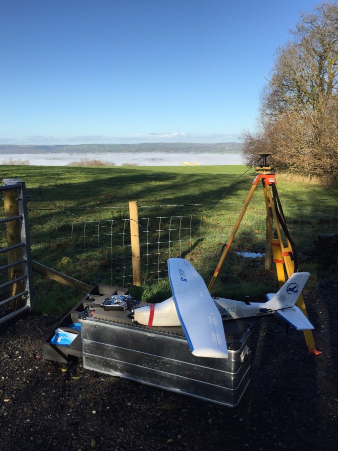
Topcon have been selling the Sirius UAV for some time now and in my job I need to know the products we sell and where they can be best utilised. Measuring snow and ice will be challenging as photogrammetry relies on images having sufficient “texture” and uniquely identifiable pixels. There should be texture with ice but this is the unknown for the location we will be visiting.
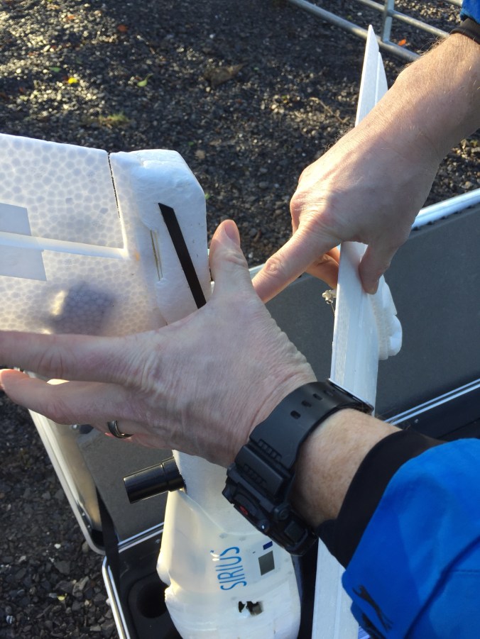
Knowing the products and their applications is not enough for this job as I will need to know how to use them too. Thanks to Rene Dikken and Mat Kellett for sorting out the loan of the Topcon Sirius Pro and training me how to use it.
I am looking forward to this task in Antartica even though it is one of the jobs where we are not so sure of the outcome yet. More to follow on this one.